
01 / SITE MAP
Choose a system. Open a journey.
The original field guide has become a proper site. Tools, trips, vessel knowledge and future writing now each have room to breathe.
Plan the expedition.
Payload, off-grid endurance, budget, launch, packing, UK access and Travel Passport calculators—editable for any similar campervan.
OPEN TOOLS → JOURNEYS / FIELD ARCHIVEFollow the road.
Complete expedition files: day-by-day routes, verified campsite spines, access stacks and departure checks — Skye to the Causeway Coast.
OPEN JOURNEYS → VESSEL / UNIT 01Meet the Landship.
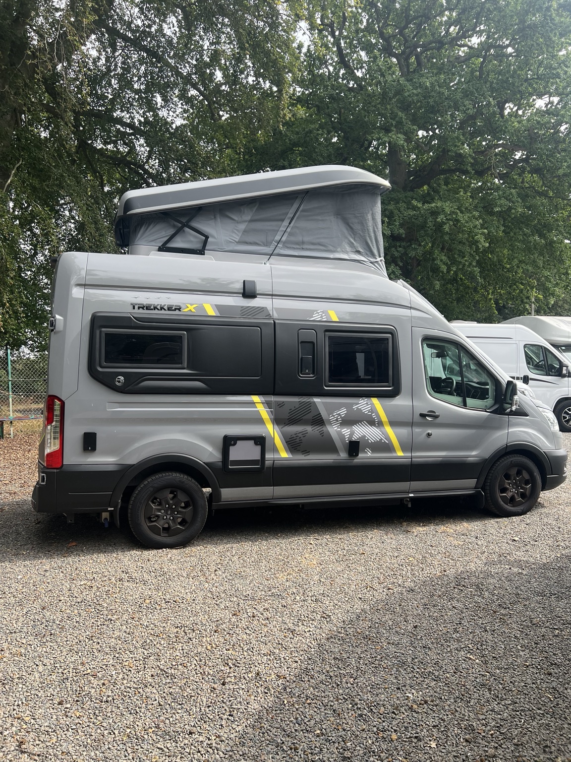
The full Swift Trekker X Automatic dossier: dimensions, systems, beds, family configuration and honest operating caveats.
OPEN LANDSHIP → BLOG / TRANSMISSION DECKField notes are live.
Field guides and journey reports from the road — payload, off-grid endurance, memberships and more — each wired to the free tools.
OPEN BLOG → ENGINE / FREE TRIP PLANNERFeed it your dates.
Free and account-free: it reads all twenty-two expedition files and every calculator, ranks the routes against your week, and builds a plan that saves in your browser.
OPEN ENGINE →02 / THE EXPEDITION ARCHIVE
Journey files, built one road at a time.
Every expedition gets the same treatment: a day-by-day route, a verified campsite spine, the membership stack and the departure checks — filed on its own page.
From the Skye ferry to the Causeway Coast.
Routes, ferry and tide briefings, booking sequences, access stacks, departure checklists and open maps — every journey filed in full on its own page, with more added as the Landship rolls.
Open the journey archiveBY DAY VERIFIED CAMPSITE SPINES / ACCESS STACKS / DEPARTURE CHECKS
The road book is becoming a community.
Follow future journeys, use the free tools and keep in touch through the newsletter, Instagram and YouTube channels.
03 / LANDSHIP CHANNELS
Follow the transmissions.
Field notes by email, the journeys on video, the road in pictures—and a direct line to the crew.
04 / HOME VECTOR
Worcester: every journey begins here.
The Nebuchadnezzar’s home map, centred on Worcester and open for browsing the roads around our Worcestershire launch point.
FOUND THIS USEFUL?
Buy the crew a coffee, if you’d be so kind.
Everything in the free archive today - the expedition files, the Nature Matrix, the seven calculators and the Trip Engine - is free forever. In future, we may offer paid expansions for people who want more. They will add to the free archive, never take anything away from it.
But if a file saved you a wasted weekend, or the Matrix put a puffin in front of your children, you are very welcome to stand us a coffee. It goes on diesel, ferries and the next expedition — which comes back up here, free, for you.
Fuel for the Nebuchadnezzar£10 · ONE PAYMENT →Entirely optional. One payment, never a subscription — and you can set any number up to ten at the checkout if you are feeling especially kind. No perks, no supporter tier, and absolutely no hard feelings either way.