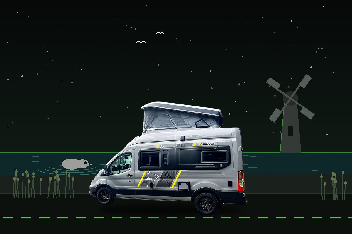
01 / MISSION PROFILE
The flatlands file: an easy first expedition, or an easy fifth.
No passes, no gradients, no white knuckles — East Anglia is short hops between long stays, which makes it the archive's recommended shakedown route for a first campervan fortnight with a baby and Percy aboard. Route planned, not yet driven — this file will gain field notes after the wheels turn.
DEMAND
COMMITTINGReal distance or real lanes, and days that need planning. · tide-critical, 650–800 miles.
WORCESTERSHIRESANDRINGHAMNORTH NORFOLKTHE BROADSSUFFOLK COASTHOME
02 / JOURNEY LOG
Fourteen days. West Norfolk, north coast, Broads, Suffolk shore.
Bookended by Cambridge: the royal estate first, then the seal coast, three nights in the Broads with a day at the helm, and the painted Suffolk seaside before Constable country points home.
Worcestershire → Cambridge
An easy motorway opener to the first bookend. Afternoon in the city by park-and-ride or on foot: the Backs, King's Parade and the Botanic Garden at buggy pace.
NIGHT 1 / CAMBRIDGE C&CC, CHERRY HINTONCambridge → Sandringham
North through the Fens with a Castle Acre Priory stop (EH) — one of England's great monastic ruins — to a secluded pitch inside the royal estate's woods.
NIGHTS 2–3 / THE SANDRINGHAM ESTATE C&MCRoyal west Norfolk
Sandringham's house, gardens and country park (fees apply), then RSPB Snettisham on the Wash — if a big tide aligns, the whirling wader spectacle is one of Britain's great wildlife sights.
BASE / THE SANDRINGHAM ESTATE C&MCSandringham → West Runton
The A148 behind the coast to a woodland pitch between Sheringham and Cromer — beach a mile one way, Norfolk's highest point (all 330 feet of it) a mile the other. Arrive after 1pm, up the rough half-mile track, passing places and patience.
NIGHTS 4–7 / WEST RUNTON C&CCBlakeney Point on the tide
The seal boats leave Morston Quay (NT) when the tide says so — book ahead and build the day around the sailing. Cley's marshes and windmill skyline finish the afternoon.
BASE / WEST RUNTON C&CCHolkham and Wells
Holkham's vast sands off Lady Anne's Drive, then Wells-next-the-Sea: the mile of beach huts, the harbour gauntlet of crabbing lines, chips on the quay.
BASE / WEST RUNTON C&CCWeather-flex day
Intentionally unscheduled — the Skye rule travels. Fair: Sheringham Park (NT) and a Poppy Line steam run between Sheringham and Holt. Foul: Felbrigg Hall's interiors (NT) and Cromer's pier.
BASE / WEST RUNTON C&CCCoast → the Broads
South into the Broads National Park and a pitch at the multi-award park in its heart — pool, treehouse trails and the waterland on the doorstep.
NIGHTS 8–10 / CLIPPESBY HALLSkipper for a day
The set-piece: hire a day launch from a Wroxham or Horning yard — no licence needed — and take the Bure at four miles an hour. Ranworth's church tower pays the view back on land. Full briefing below.
BASE / CLIPPESBY HALLBroads by land
How Hill's gardens and the tiny Toad Hole cottage, the walk out to St Benet's Abbey ruin among the grazing marshes, and Potter Heigham's medieval bridge from the bank.
BASE / CLIPPESBY HALLBroads → Suffolk shore
Down the A12 to a beachside pitch at Kessingland — from Beccles, ignore the sat-nav and follow the Africa Alive signs, as the club instructs. Evening run to Southwold's pier, lighthouse and Adnams-scented streets.
NIGHTS 11–12 / WHITE HOUSE BEACH C&MCAldeburgh and Framlingham
RSPB Minsmere's hides and reedbeds first, then Aldeburgh's fish huts and the Scallop on the shingle, with Framlingham Castle's full wall-walk (EH) inland to finish.
BASE / WHITE HOUSE BEACH C&MCSutton Hoo → Constable → Cambridge
The ship-burial mounds and treasury story at Sutton Hoo (NT), then Flatford's mill and Willy Lott's cottage (NT) — straight out of The Hay Wain — before the second Cambridge bookend.
NIGHT 13 / CAMBRIDGE C&CC, CHERRY HINTONCambridge → home
The A14 and motorways west, with Thetford Forest's High Lodge (Forestry England) as the leg-stretch option if the crew votes for one more wood. Unpack, weigh the lessons, file the field notes.
HOME / WORCESTERSHIRE03 / OPERATIONS BRIEFING
The details that keep the adventure easy.
Treat the four West Runton nights and the tide-timed seal sailing as fixed points. Everything else on this file flexes more easily than anywhere in the archive.
PRIMARY VESSEL SWAPTAKE THE HELM
WRXDAY LAUNCH / RIVER BURERAN
Skipper your own Broad
For one day the crew changes vessels: day launches hire by the hour or day from Wroxham and Horning yards, and no licence is needed. The rules are the river's — stick to the speed limits, pass port-to-port, mind your wash past moored boats and anglers, and get the yard's briefing on mooring before casting off. Life jackets for everyone, Percy included. Book ahead in season; electric launches are the quiet choice.
BOOKING SEQUENCE
- 01West Runton C&CCSecure all four coast nights — earliest arrival 1pm.
- 02Clippesby HallThe award park books far ahead in season.
- 03The Sandringham Estate C&MCThe royal-woods pair.
- 04White House Beach C&MC + Cambridge ×2The Suffolk pair and both bookends.
- 05Boats + tidesSeal sailing from Morston, the day-launch hire, and a Snettisham spring-tide check.
VEHICLE PROFILE
5.98M LENGTH
2.98M HEIGHT
2.11M WIDTH
Two approaches on this file override the sat-nav — West Runton's woodland track and Kessingland's A12 turn. Club directions, every time.
CREW RHYTHM
One major objective per half-day.
The flatlands make this the easiest file to honour: nothing is far, so let feeds, naps and crabbing lines set the tempo. Coast day 7 is intentionally unscheduled — protect it.
ROUTE CAUTIONThe sea parks where it likes: Blakeney, Morston and Wells quayside car parks flood on big spring tides.
Check the tide height before leaving the van anywhere with seaweed on the tarmac, and park high when a spring tide is due — the flatlands' one genuine trap for a campervan.
04 / UK ACCESS STACK
The same wallet, pointed east.
This is the RSPB's route — three of its finest reserves on one circuit — with the National Trust holding the seal coast and the Constable finale, and the clubs covering five of the six bases. Carry physical cards; admission, booking and parking rules vary by organisation and property.
Snettisham, Titchwell, Minsmere
Nowhere else stacks three RSPB giants on one circuit: Snettisham's spring-tide wader spectacle on the Wash, Titchwell Marsh along the north coast road, and Minsmere's reedbeds by the Suffolk shore. The card's best fortnight.
From Morston Quay to The Hay Wain
The seal boats leave from NT's Morston Quay; Sheringham Park, Felbrigg and Horsey's windpump line the coast; and the finale is pure Trust — Sutton Hoo's burial ground and Flatford's mill straight out of Constable.
Castle Acre and Framlingham
Lighter ground than the frontier, but the two hits are proper ones: Castle Acre Priory's great west front in the Fens, and Framlingham's complete curtain-wall walk above its mere.
Thetford on the way out
High Lodge in Thetford Forest — England's largest lowland pine forest — sits on the day-14 line for a final Percy run on the parking pass. RHS Hyde Hall is the Essex detour if the route home bends south; otherwise check the partner-garden map.
C&MC + C&CC spine
Five of six stays are club ground — Cambridge twice and West Runton (C&CC), Sandringham's royal woods and White House Beach (C&MC) — with Clippesby Hall the one independent, there on merit as a serial award-winner.
Run the numbers
The complete seven-membership dashboard — coverage, reciprocals and official links — lives on the Journeys page, and the optimiser prices the whole stack against your actual plans.
05 / THE NATURE MATRIX
The living checklist.
This file’s six species from the Nature Matrix — the archive’s 354-species UK wildlife calendar — with their peak months lit. Gold entries are the rare ones: never promised, never chased. Tap a card to log a sighting, and four of six earns this file a bronze patch, all six turns it gold.
Swallowtail butterflies
★ RAREJFMAMJJASOND
Britain’s largest — Broads fens only.
Grey seal pups
LIKELYJFMAMJJASOND
Blakeney’s white-coat season — a genuine spectacle.
Common seals
COMMONJFMAMJJASOND
Year-round on the Point; summer pups.
Snettisham wader whirl
LIKELYJFMAMJJASOND
Big-tide knot clouds — check tide tables.
Pink-footed geese
COMMONJFMAMJJASOND
Dawn and dusk skeins over the coast.
Booming bitterns
LUCKYJFMAMJJASOND
Minsmere’s reedbed foghorn.
Marsh harriers
LIKELYJFMAMJJASOND
Sky-dancing over every reedbed.
Avocets
LIKELYJFMAMJJASOND
The RSPB’s own emblem, on the scrapes.
Barn owls hunting the dykes
LIKELYJFMAMJJASOND
Ghost-pale over the grazing marsh.
Grass snakes
LUCKYJFMAMJJASOND
Swimmers of the Broads margins.
Nightingales in the scrub
LUCKYJFMAMJJASOND
Suffolk’s late-evening soloists.
Poppies in the field margins
COMMONJFMAMJJASOND
Red ribbons through the barley.
Pike in the Broads
LIKELYJFMAMJJASOND
Winter is pike season on the Broads — a day-ticket water and a big landing net.
Roach and bream shoals
COMMONJFMAMJJASOND
The classic Broadland coarse mix — free fishing on some staithes, permits on most.
Norfolk hawker dragonfly
LUCKYJFMAMJJASOND
A protected Broadland speciality with brilliant green eyes.
Chinese water deer
LIKELYJFMAMJJASOND
Tusked, teddy-bear faced and firmly established here — dawn on the grazing marsh.
Sea kale on the shingle
COMMONJFMAMJJASOND
Blue-grey cabbage leaves on bare stone — a shingle-beach survivor.
11 more from the Nature Matrix
FIELD LAW: DISTANCE · PATIENCE · ENGINE OFF — THE CHECKLIST TICKS ITSELF; THE ARCHIVE NEVER CHASES.
06 / EXPEDITION TOOLKIT
The calculators, the cover and the app deck.
Run this file’s numbers through the free tools, confirm your own cover, then let the installed app deck cross-check pitches, navigation and live conditions. A layered toolkit — never permission to ignore campsite arrival instructions, signs or local access rules.
FREE TOOLS / RUN YOUR OWN NUMBERSNOTHING LEAVES YOUR DEVICE
Take this file to the calculators.
Every number on this page is a starting point. Push the route, the days and the crew through the free tools — they run entirely in your browser, save to your device only, and need no account.
BEFORE DEPARTURECHECK, DON’T ASSUME
Cover and the flex layer.
Insurance and breakdown: confirm your own policy covers the vehicle, the crew and the territory for the whole trip — and cache the certificate, policy number and breakdown numbers offline before signal thins.
The flex layer: Woodland Trust woods are free to visit and useful for short decompression walks around transit days — search near the next fuel or overnight stop rather than forcing another attraction into the day.
INSTALLED APP DECK
Cross-check, download, then go offline.
01PITCH + PARK
Find the night
CAMC BookingSiteSeekerpark4nightCampercontactStayFreeCampyWikiCampssearchforsitesBrit StopsCampingCard ACSICampernightCampsites.co.ukHipcamp
02MAP + WALK
Navigate on and off road
WazeHiiKEROsmAnd MapsPeakVisorOS MapsOS Locatewhat3wordsOrganic MapsWikiloc
03FLATLANDS LAYER
Discover the route
Broads AuthorityTide TimesSeal trips (Morston)Poppy LineVisit NorfolkNT Days Out
04UTILITY + EUROPE
Keep the vessel moving
StarlinkUlysaFerryLeShuttleGreen-ZonesFlushRainTodayMeteo-FranceLevel RemotePetrolPricesFlightradar24Club Magazine
FIELD RULEClub arrival directions beat Waze on the final approach. Download OS or OsmAnd mapping before the signal disappears.
07 / DEPARTURE CHECK
Ready the landship.
A short final check now prevents the unglamorous problems from hijacking the first few days.
Canvas clear, locked, verified
Pull the elevating-roof canvas clear, lower, twist-lock and physically check it — every departure, no exceptions.
Weigh the real expedition
Load exactly as you intend to tour and visit a weighbridge. The automatic's 370 kg must absorb crew, Percy, water and every bag — check total and axle weights.
Systems set for transit
Gas bottle off at the internal cupboard shut-off, fresh tank part-filled for arrival, waste and cassette empty, water heater drained down if frost threatens.
Leisure battery green
Battery charged, solar clean and reporting, hook-up cable, adaptors and USB leads aboard. Run the off-grid calculator for the no-hook-up nights.
Restraints rigged
Child seat installation confirmed on the belted travel seats, and Percy's crash-tested harness or crate anchored on the activity deck — Highway Code rule 57.
Cards and cover to hand
Licences, insurance app signed in and cached, C&MC and C&CC membership cards, heritage cards, boat bookings and tide tables saved, and the Travel Passport checklist run.
OFFICIAL RESOURCE DESK
Recheck before departure.
08 / OPEN MAP
Browse the flatlands from home base.
The map opens on Norfolk and Suffolk at two-county scale. Pan, zoom and search freely — this is a planning surface, not a fixed route.
LOCAL MAP / OFFLINEOPEN THE FULL MAP BELOW FOR ROUTING
EXPEDITION FIELD / EAST ANGLIAOpen full Google Maps ↗
09 / WHERE NEXT
Three files that pair with this one.
Chosen by shape rather than geography: matching tier, shared ground, overlapping species or the same appetite for boats and lanes. The free Trip Engine will rank all twenty-two against your actual dates.
EXPEDITION 03 · STANDARD TRIPThe South West: Land’s End & backThe same standard trip, somewhere else entirely14 DAYS · OPEN FILE →EXPEDITION 05 · STANDARD TRIPNorthumberland: the frontierThe same standard trip, somewhere else entirely14 DAYS · OPEN FILE →EXPEDITION 01 · STANDARD TRIPScotland: Skye & TorridonThe same standard trip, somewhere else entirely14 DAYS · OPEN FILE →
FOUND THIS USEFUL?
Buy the crew a coffee, if you’d be so kind.
Everything in the free archive today - the expedition files, the Nature Matrix, the seven calculators and the Trip Engine - is free forever. In future, we may offer paid expansions for people who want more. They will add to the free archive, never take anything away from it.
But if a file saved you a wasted weekend, or the Matrix put a puffin in front of your children, you are very welcome to stand us a coffee. It goes on diesel, ferries and the next expedition — which comes back up here, free, for you.
Fuel for the Nebuchadnezzar£10 · ONE PAYMENT →Entirely optional. One payment, never a subscription — and you can set any number up to ten at the checkout if you are feeling especially kind. No perks, no supporter tier, and absolutely no hard feelings either way.